

Cartographie du fleuve, de Grondines à Bastican, 1859
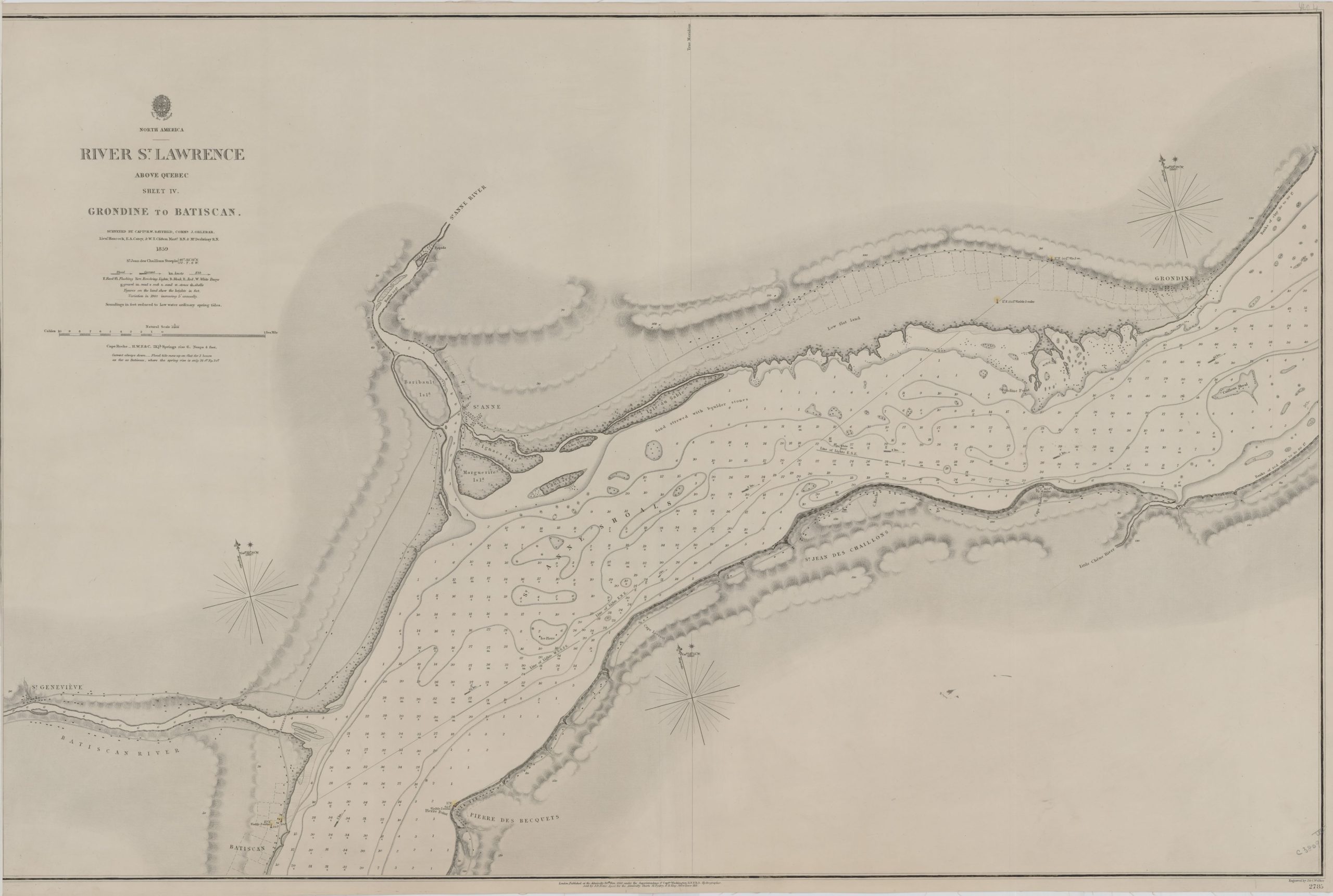
River St. Lawrence, above Quebec, sheet IV [cartographic material] : Grondine to Batiscan / surveyed by Captn. H.W. Bayfield, Commr. J. Orlebar, Lieut. Hancock, E.A. Carey, & W.T. Clifton Mastr. R.N. & Mr. Desbrisay R.N., 1859
Source : Bibliothèque et Archives Canada (R11630-2078-3-E).
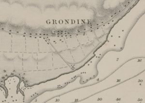
Agrandissement de la carte, secteur de Grondines, 1859.
Cette carte du fleuve, publiée le 20 novembre 1860 en Angleterre, permet de constater que le quai de Grondines, à l’est du moulin, existait déjà à cette époque.